


Weather radar guide
PocketRadarWhy radar can show rain when it is dry outside.
The radar may be detecting precipitation above the ground, a beam that samples high in the atmosphere, clutter, or a scan that no longer matches current conditions. Here is how to tell the possibilities apart.
The short answer
The most common explanation is virga: rain or snow exists high enough for radar to detect it but evaporates in dry air before reaching the surface. Other possibilities include ground clutter, unusual beam bending, distance from the radar, or an old frame.
Virga: precipitation evaporates before reaching you.
Radar samples precipitation in the atmosphere. When the air below a cloud is dry, falling rain or snow can evaporate before it reaches the ground. The National Weather Service calls this virga. The echo is real, but the surface remains dry.
Virga is more likely when nearby observations report dry air or when precipitation appears weak and does not produce measurable rain at the surface.
The radar beam may be sampling far above the ground.
A radar beam rises and becomes wider as it travels. Farther from a radar site, the lowest scan can pass well above shallow precipitation or detect ice and rain aloft that do not describe street-level conditions exactly.
Terrain can also block part of a beam, while atmospheric refraction can bend it differently from the expected path.
Some colored echoes are not precipitation.
Buildings, hills, wind turbines, insects, birds, dust, and unusual atmospheric refraction can return radar energy. Ground clutter often stays close to the radar, looks speckled, and remains nearly fixed while real precipitation moves.
NOAA recommends a second opinion: compare adjacent radar views, satellite or surface observations, and whether the pattern moves coherently.
The frame may be older than the weather outside.
Radar maps are not a continuous live camera. A scan is collected, processed, transferred, and displayed. Check the timestamp and play the recent loop. A shower can move away or dissipate between the last available frame and the moment you look outside.
Confirm the surface condition before making a decision.
Compare the radar with what you can observe, a nearby weather station, the current forecast, and official warnings. Radar is evidence from the atmosphere, not a direct measurement of every drop at your location.
For a complete reading method, follow the five practical radar steps and use the weather radar color guide for intensity.
A quick way to check the mismatch
Use several clues together.
| What you see | Possible cause | Next check |
|---|---|---|
| Weak echoes overhead, dry air near the surface | Virga | Check humidity and nearby surface reports |
| Speckled pattern fixed near a radar site | Ground clutter or anomalous propagation | Compare movement and adjacent radars |
| Echoes far from the radar but no local rain | Beam sampling high above ground | Check surface observations and terrain |
| Echo passed in the loop but map still shows it | Processing or display delay | Check the final frame's timestamp |
The radar is not necessarily wrong.
Radar and a person at the surface observe different parts of the atmosphere. A return can accurately represent precipitation aloft while the ground stays dry. Treat the mismatch as a clue to check height, timing, and local observations.
If safety matters, use official alerts and local instructions rather than deciding from a single radar frame.
Look for motion.
Real precipitation usually develops and moves coherently across several frames. Fixed, noisy, or implausibly shaped returns deserve comparison with another source.
Put the method into practice
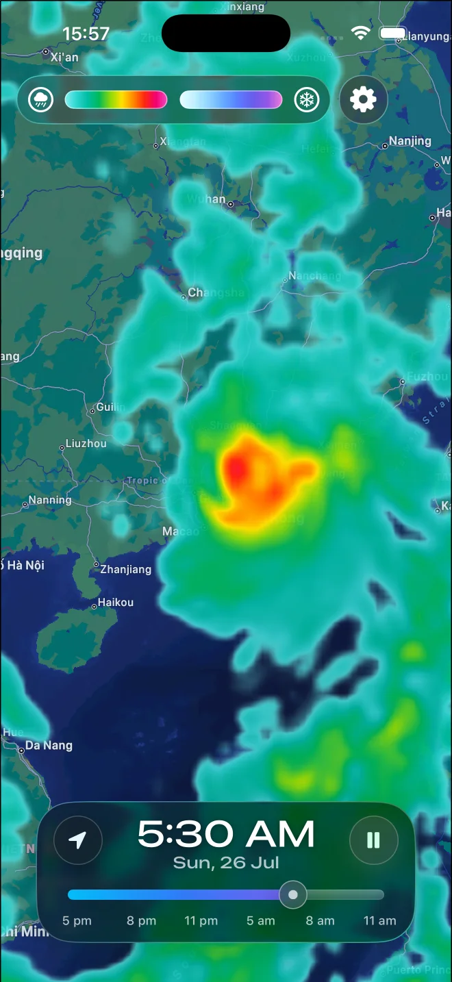
Use the timeline to separate motion from noise.
In PocketRadar, return to your location, play several frames, and pause on the newest timestamp. Follow the same echo through time instead of judging a single colored patch.